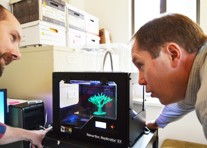
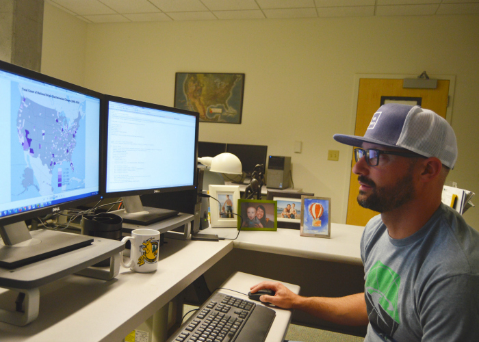
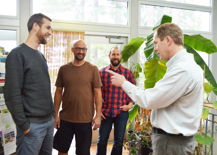
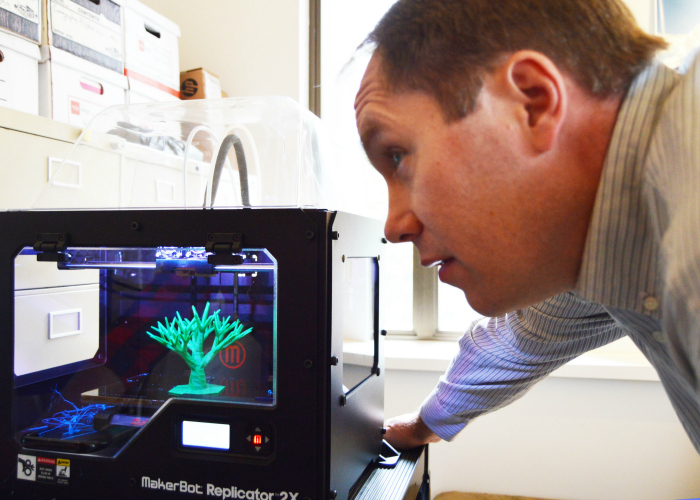
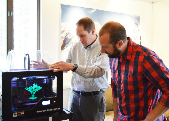
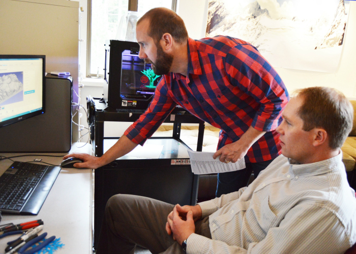
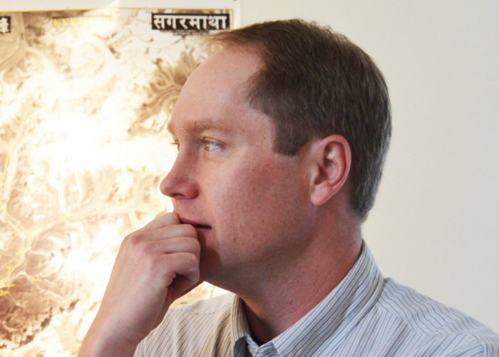
CISR Lab
Want to track coastal resilience? Wondering who is most vulnerable to climate change? Hope to monitor changing sea levels? There is a UCSC-developed app for that (and it is White House recognized, too). There are also programs for tracking mountain lions, mapping global inequality, and recording melting ice caps - all tools developed at UCSC’s Center for Integrated Spatial Research (CISR).
Learn more by clicking the link here. Photos by Melissa De Witte.


UC Santa Cruz, 1156 High Street, Santa Cruz, Ca 95064
©2025 Regents of the University of California. All Rights Reserved.